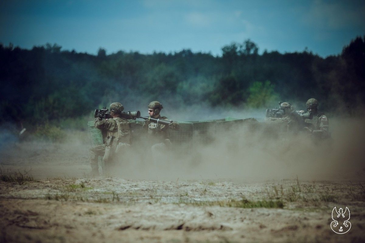
In 2027 we'll have 12 satellites in orbit. erstwhile this constellation becomes operational, Poland will become a state with the top satellite imaging capabilities in Europe," said Colonel Leszek Paszkowski, Head of the Geospatial designation and Satellite Services Agency, who will manage military satellites and make data obtained from orbit.
Colonel, we have a 4th effort to bring our satellite into space. Why was this event postponed so many times?
Colonel Leszek Paszkowski: This is space, anything can happen here. And seriously, on board the Falcon 9 rocket to bring our satellite into space, there are a full of over 100 different cargoes that will be placed in space. Their value is estimated at least 2 billion dollars. No 1 would want to lose that kind of charge, so any small responsibility can block the launch. On Wednesday, method problems with the rocket refueling strategy were likely to occur, so it was decided to halt the flight.
But if everything goes as planned, present our first satellite will be in space. What will the Polish Army gain?
This is simply a breakthrough minute that will start the process of building a full constellation of satellites. We want to have a strategy consisting of components: quality and revision. The qualitative component is satellites that give images of very advanced resolution, providing greater quality and precision. The revision component is satellites with somewhat weaker parameters, but due to the fact that there are more of them in the constellation, we can observe the area more often.
Importantly, these components form both radar and optical imaging satellites. Thanks to this, we make a comprehensive strategy of mutually complementary sensors allowing to execute tasks regardless of the time of day or weather conditions.
If everything goes as planned, we'll have 12 satellites in orbit in 2027. We have already ordered 3 satellites from Iceye, we should shortly get a fourth, and the framework agreement itself concerns six. This is the MicroSAR programme. There are besides 2 optoelectronic satellites obtained under the POLEOS programme and 4 MicroGlobs. erstwhile all of our satellites enter orbit and become operational, we will have any of the top satellite imaging capabilities in Europe. And this is only the beginning, and we will surely want to make this constellation.
Together with the Iceye satellite, 3 satellites built under the Piast programme will launch into space.
Yes, but these satellites are not considered operational tools, they are part of the investigation program. It is an investment in the Polish space manufacture and the improvement of discipline to build its own competences and in the future to plan increasingly better systems.
So far we've been getting satellite data from allies. Will these Polish satellites disagree from them?
We're talking about different sensors and different imaging modes. due to the fact that it's not like it's only in the highest resolution, so called "spot" mode. If we decide to display in a worse quality, we will get a image of a much larger area, which can be useful, for example, erstwhile searching for objects in large areas, specified as a ship at sea.
Thanks to the fact that we get different types of satellites, we will be able to choose the appropriate kind and mode of operation of the satellite to execute a circumstantial task. And if something peculiarly crucial happened on the surface of the Earth, we could usage all our abilities to observe this peculiar area. This is very crucial due to the fact that orbital mechanics are merciless – a satellite in low orbit does not “hang” over 1 place, but constantly circulates around it. So a given point on the surface of the Earth can only be seen for a certain time. The solution is the constellations – the more satellites, the more chance to photograph a circumstantial point on Earth.
What is the biggest challenge in terms of capacity building for operations in space?
The most hard thing is what we are just working on – the protection and defence of satellites in space.
Aren't we going besides far? War isn't in space yet...
The defence I'm talking about concerns many factors, specified as space weather, the full spectrum of electromagnetic threats, and cybersecurity. We must besides take into account the hazard of possible collisions in orbit with another satellites, blue bodies or alleged space debris. We must have the ability to identify these threats, and that requires sensors to be located around the world. That's why we build these abilities together with our allies. So it is not strictly about shooting down satellites, but about the anticipation of reacting if individual decides to conduct hostile actions against them, as well as their protection from natural hazards.
But China shot down its own satellite...
Yeah, like the United States and Russia. However, they were shooting down their own satellites that lost their abilities. I would treat this as a demonstration of the strength of individual states, and I do not think that we will frequently deal with specified actions. due to the fact that as it turned out, their consequence is that immense amounts of space debris appear in orbit, which endanger another satellites, including their own. I'd be more afraid of the devices, and we know they're already in orbit, which are able to approach our satellites and, for example, change the direction of the satellite and push it out of orbit. And a satellite that leaves orbit falls into the atmosphere and burns.
What is the location of the orbit on which the satellite will be located?
It's pure math and orbital mechanics. First you gotta calculate the parameters of the orbit itself, its height, the slope to the plane of Earth. If the satellite is to enter a heliosynchronous orbit, or synchronised with the Sun, it is besides very crucial to carry it out, due to the fact that it determines the time the satellite will pass over a given area. another issues concern, for example, the appropriate slope configuration of solar panels to supply adequate power to the satellite. All these parameters are defined at an early phase of satellite strategy design.
Is that why the launch of the rocket with our satellite, even though it was postponed respective times, was it always planned at 7:18 p.m.?
Yeah. It's 10:00 p.m. in California, where this start is due. As a result, satellites will always pass over the area at the same time. This is very crucial primarily for optoelectronic satellites, which request repetitive lighting conditions, a akin shadow length, to give us the data we will later be able to build 1 coherent image.
How long before the satellite is launched until it's operational?
It takes only a fewer minutes to get into orbit, then it starts.
(commissioning phase), i.e. correcting the position of the satellite, investigating all devices, communication systems, developing solar panels. It may take days to months, although it is usually a fewer weeks. If indeed present our satellite is elevated, it should be operational in the first 4th of next year.
Are we prepared to operate satellites? Is this a complicated process from the operator's perspective?
From the operator's point of view, it's computer work. But in order to be able to execute it, you request very much knowledge: from orbital mechanics, through computer science, to knowing the specifics of the space environment and many another fields. In practice, the operator works at a ground-based steering and control station connected to an antenna strategy located in various locations worldwide. Thanks to them, you can download data and send tasks to a satellite.
Where are satellite operators trained? The Military method Academy?
The authorities of the Department of Land Engineering and Geodesy WAT have created a fresh speciality in Geodesy and Kartografia “satellite recognition” and have launched the Satellite Mission Control Centre, where our officers are trained – future satellite strategy operators, as well as surveyors or imaging specialists. Regardless, the main training for operators will be carried out under contracts concluded by satellite strategy manufacturers, i.e. by the companies from which we collect satellites.
And where was this, colloquially speaking, our Polish satellite command center?
The management of satellites will be scattered, and for known reasons I would not like to talk much about it. I can point out that the main steering and control centre is being built utilizing the resources of 1 of the ARGUS subordinate units. The Satellite Support Centre is established there, and there is simply a Satellite Operations Centre in the structure of ARGUS. However, we want to build specified a strategy so that we can do our tasks from any location, not only in the country, but besides abroad, if necessary.
But to do that, you gotta take the first step. Is this gonna work today?
This is space. Anything can happen here.


![24 Hours of Le Mans: Poles Shine Again! Toyota Reigns ultimate at the French classical [RESULTS]](https://wrc.net.pl/media.php?url=https%3A%2F%2Focs-pl.oktawave.com%2Fv1%2FAUTH_31b548cfed58484085a001af5d8ac982%2Fwrc-prod%2F2026%2F06%2Fle-mans-toyota-wyniki-1024x683.webp)