From Saturday – 12 April, the NMT will be able to see a fresh exhibition – Polish geodesy-cartographic instruments and instruments.
From Saturday – April 12, the National Museum of Technology in Warsaw will see a fresh exhibition entitled Polish geodesy-cartographic instruments and instruments.
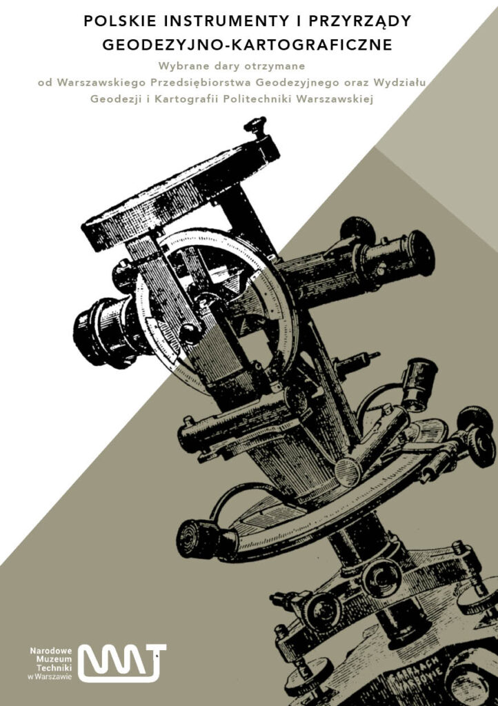
The exhibition was prepared thanks to gifts given to the Museum by the Warsaw Geodesic Company and the Faculty of Geodesy and Cartography of the Warsaw University of Technology.
Geodesy and Cartography are related technological fields that aid to better realize geographical space, manage resources and plan spatial data-based development. The exhibition presents the wide scope of recipients, geodesy and cartographic equipment of Polish production, which comes mainly from valuable gifts of the Warsaw Geodesy Company and the Faculty of Geodesy and Cartography of Warsaw University of Technology. In addition, as part of the exhibition, in a multimedia form, a mini geodesic dictionary was prepared, which brings together the character of individual exhibits and short stories of donor institutions.
The chronological scope of the exhibition covers more than 100 years – from the late 19th century to the year 2000. Among the exhibits is simply a unique concrete pillar from the interwar period, which defines the border of Warsaw – decorated with the coat of arms of the Capital, and a levelling pillar from the 1950s. The exhibition is complemented by many maps, plans and photographs.
Warsaw Geodetic Company was founded in 1951 as 1 of the key institutions in the field of geodesy and cartography in Poland. Its aim was to support the improvement of infrastructure and the implementation of geodetic measurements essential for spatial planning and construction. The company gained reputation through professionalism and advanced quality services, engaging in many projects related to mapping and field measurements. During its activities, WPG played an crucial function in the improvement of geodesy in Poland, adapting to changing marketplace needs and introducing modern measuring technologies. Thanks to many years of experience and cooperation with various technological and method institutions, the WPG has become an crucial benchmark in the geodesic industry, and its achievements are appreciated both at home and abroad.
Faculty of Geodesy and Cartography of Warsaw University of Technology, 1 of the oldest departments of this kind in Poland, was founded in 1951. Its emergence was a consequence to the increasing request for specialists in geodesy, cartography and geoinformation engineering. Throughout its history, the Faculty gained its reputation through advanced quality education and innovative research. He led many investigation projects that contributed to the improvement of measurement technologies and geographical information systems. The GiK Department educates not only Polish students, but besides offers programs for abroad students, which contributes to global academic cooperation. By combining explanation with practice and cooperation with industry, The Faculty became a key centre of cognition and innovation in the field of geodesy and cartography in Poland.