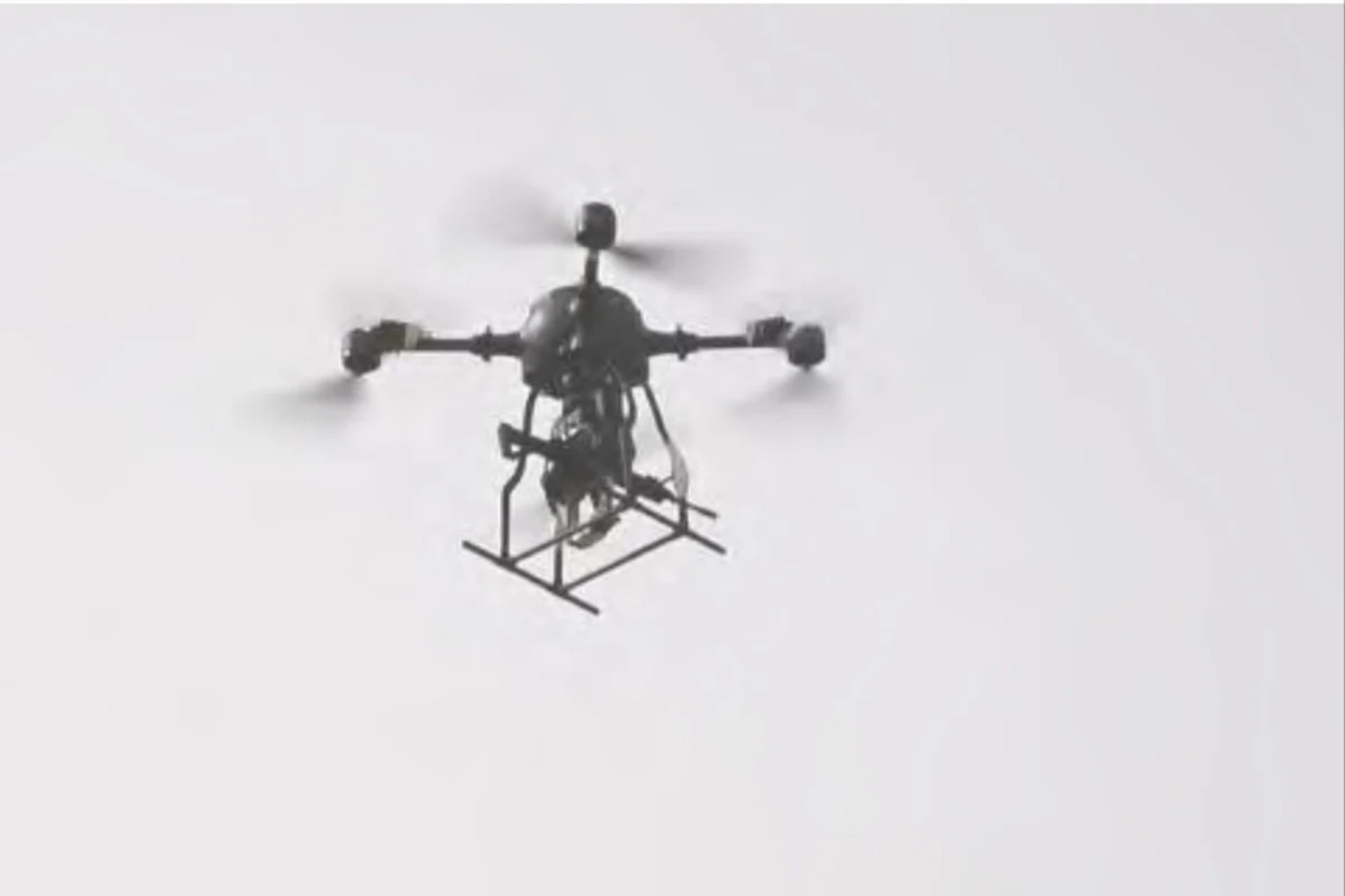
Researchers from PW implement a photogrammetric data project
Zdjęcie: Członkowie zespołu UAV Geolab z Zakładu Fotogrametrii, Teledetekcji i SIP Wydziału Geodezji i Kartografii Politechniki Warszawskiej prowadzą badania nad synchroniczną orientacją danych lidar
Members of the UAV Geolab squad from the Department of Photogrammetry, Teledetection and SIP Department of Geodesy and Cartography of Warsaw University of Technology conduct investigation on synchronous orientation of the lidar data and photogrammetric photos. The fresh standard in obtaining photogrammetric data, both from the air ceiling and from unmanned BSL flying systems, is their synchronous or asynchronous extraction from different sensors. The main intent of the task is to survey the common algorithm...
Related


Ukraińskie drony pod cyfrowym nadzorem
3 days ago