Free webinar on integration of data from the ground and from the air
Zdjęcie: Firmy SkySnap i WIDMO Spectral Technologies zapraszają na bezpłatny webinar, podczas którego pokażą, jak łączyć dane georadarowe spod powierzchni gruntu z danymi z dronów w celu uzyskania
SkySnap and WIDMO Spectral Technologies invitation you to a free webinar, during which they will show how to combine georadar data from the ground to drone data for complete digital field information. The event will take place on 25 November at 11 a.m. During vebinar participants will learn, among others, how the subsurface imaging of the SGPR works and what opportunities it offers in identifying the ground layers, continuities and underground threats;...
Related


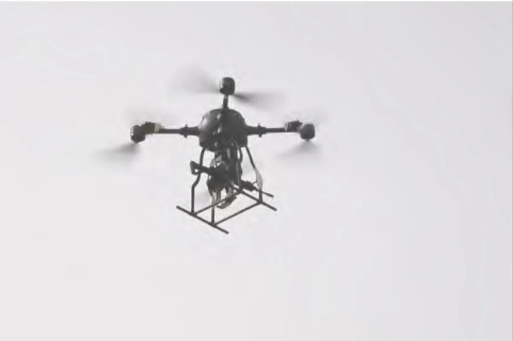

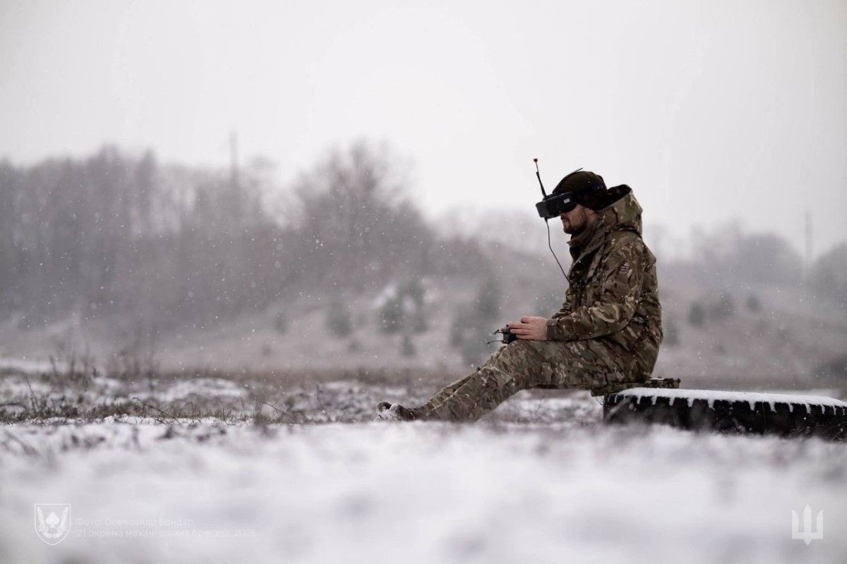
Ukraińskie drony pod cyfrowym nadzorem
3 days ago

recommended


Samoloty F-15 dla NASA
7 hours ago